Return to Mike's Hiking Adventures

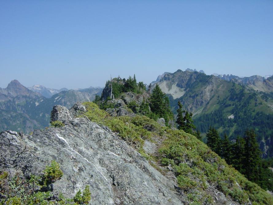
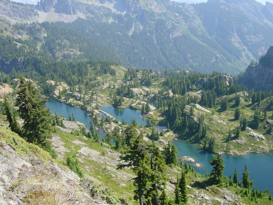
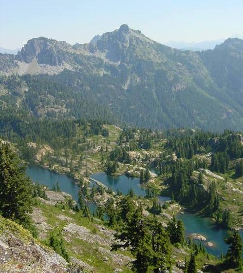
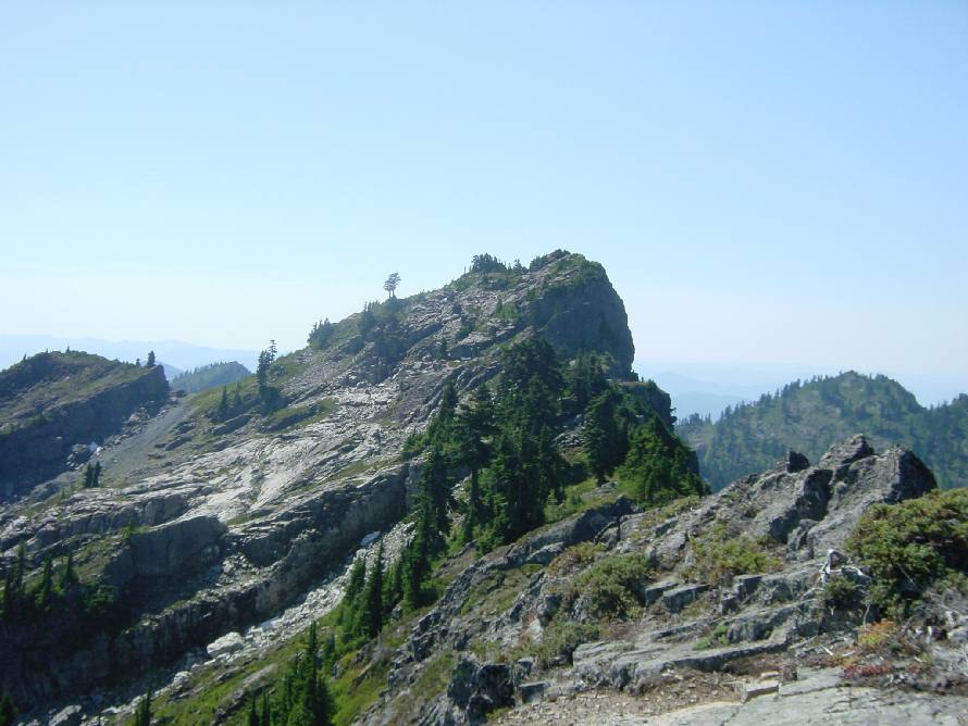
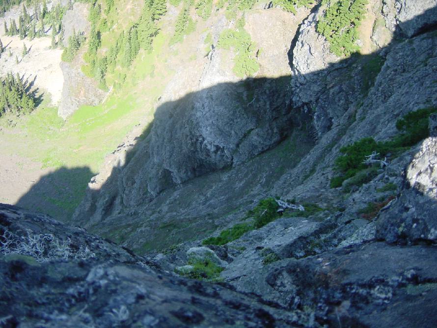
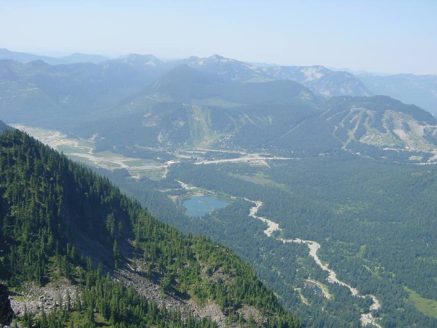
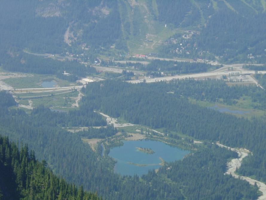
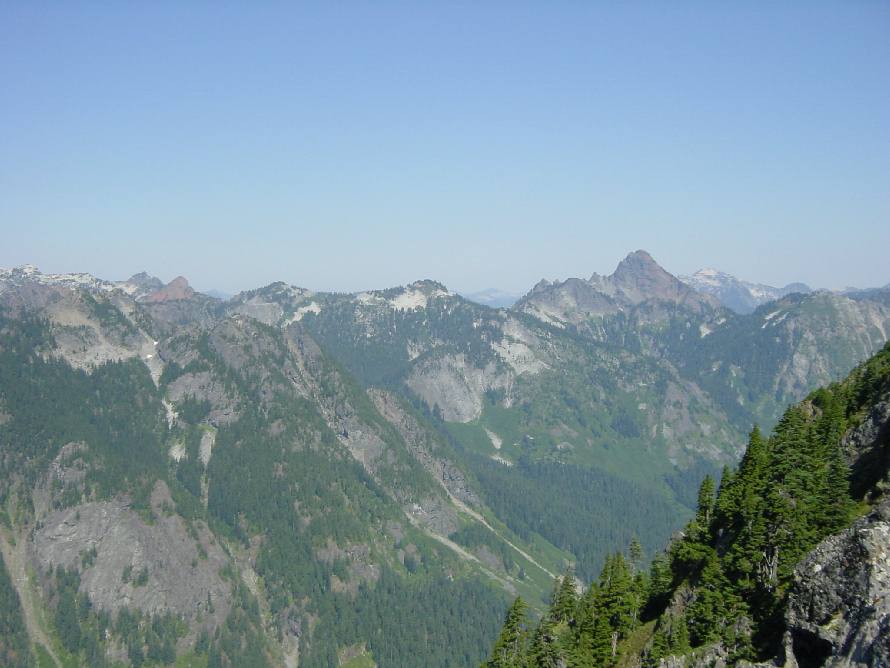
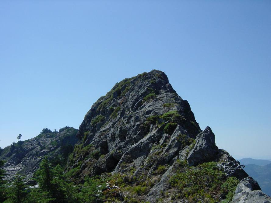
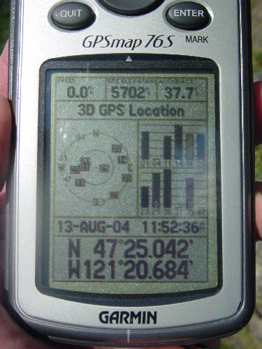
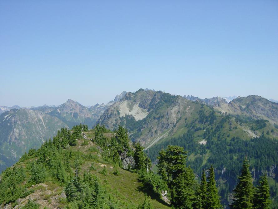
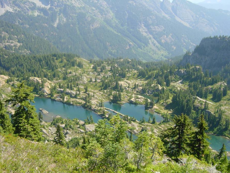
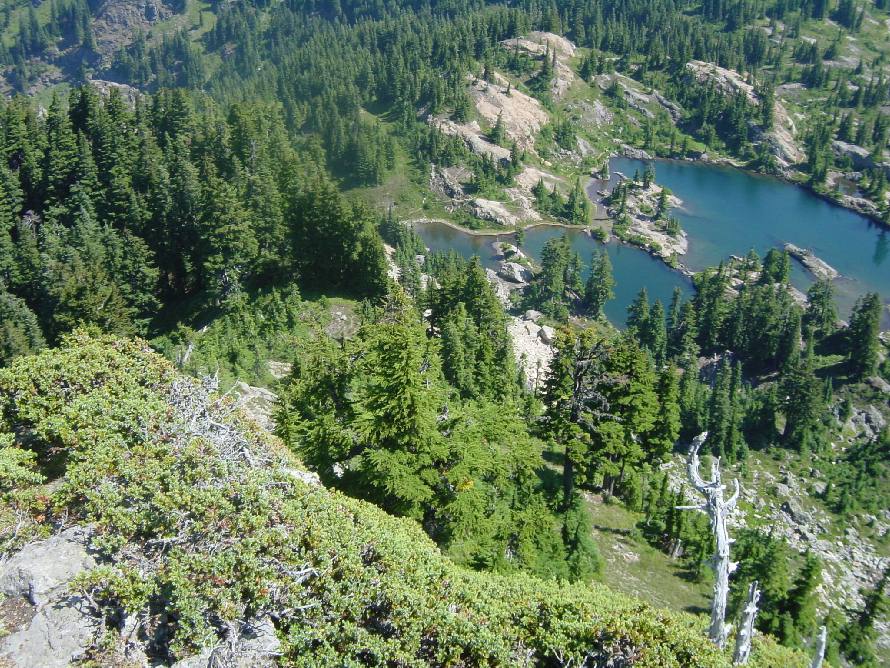
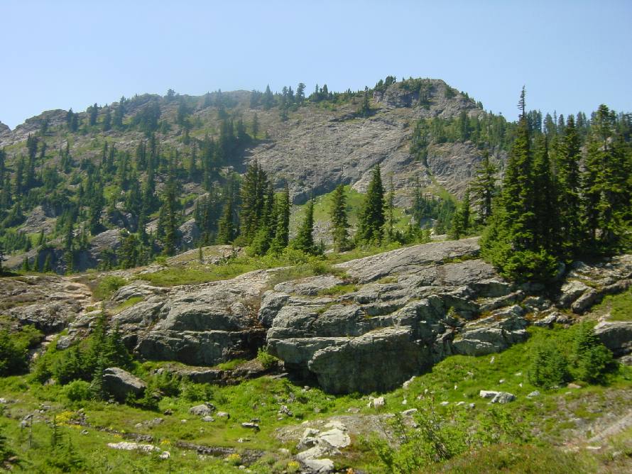
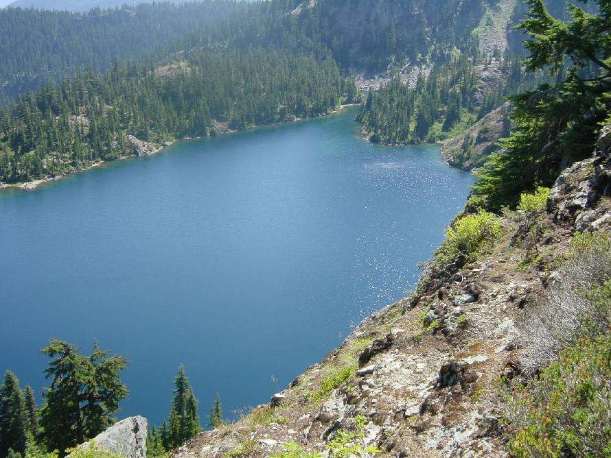
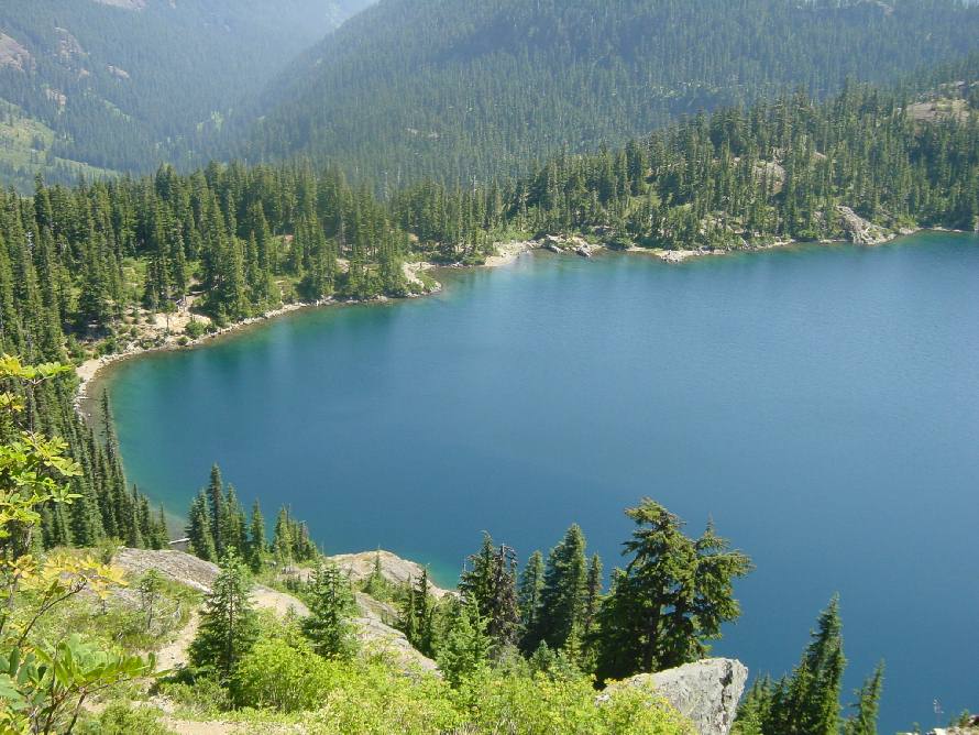
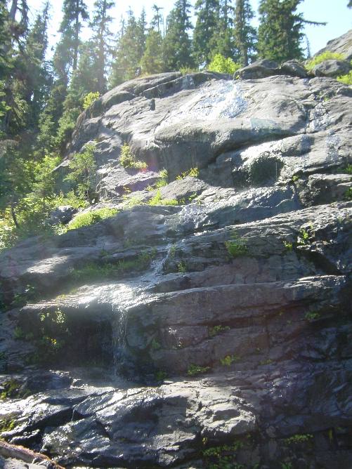
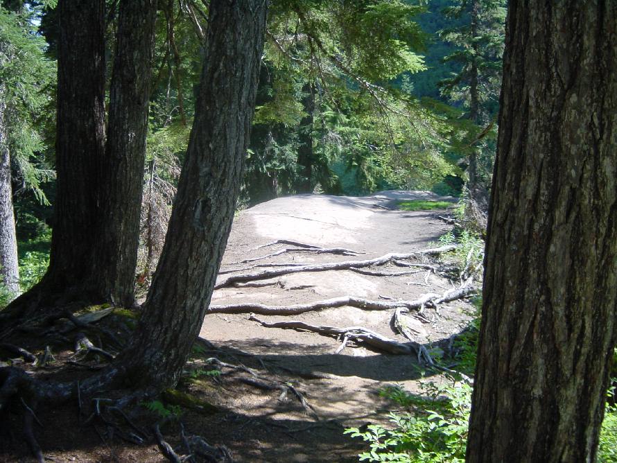
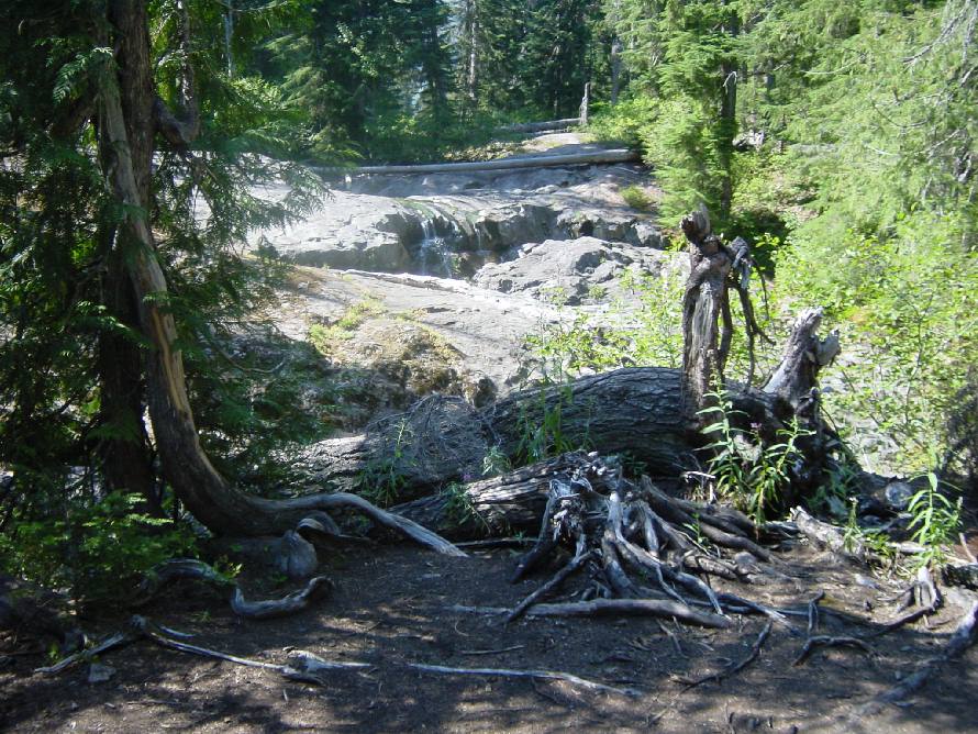
Cascades, Washington
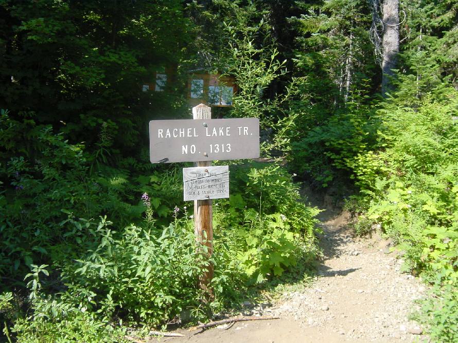
Central Cascades featuring Rachel Lake, Rampart Lakes, Rampart Ridge 
13 Aug 04

Stats
Lowest Elevation:  2,738 ft
Highest Elevation:  5,740 ft
Elevation Gain:  3,002 ft
One way to Rachel Lake:  4 Miles
Estimated Total Round Trip:  15 Miles
Duration:  1 day

02 Fern.JPG (109600 bytes) 04 Rachel Trailhead.JPG (132537 bytes) 05 Rampart Hammock.JPG (170013 bytes)
06 North Ridge.JPG (110828 bytes) 07 Rampart Lakes.JPG (149334 bytes) 08 Rampart Lakes.JPG (70984 bytes)
09 Rampart Summit.JPG (88576 bytes) 10 Rampart Cliff.JPG (118761 bytes) 11 Snoqualmie Pass.JPG (88090 bytes)
12 Snoqualmie Pass.JPG (72755 bytes) 13 Look North.JPG (78239 bytes) 14 Rampart Summit.JPG (82680 bytes)
15 GPS.JPG (50679 bytes) 16 Look North.JPG (85310 bytes) 17 Rampart Lakes.JPG (143309 bytes)
18 Rampart Lakes.JPG (200650 bytes) 19 Rampart Lakes.JPG (138598 bytes) 20 Hibox Mountain.JPG (122613 bytes)
21 Rampart Frog.JPG (74136 bytes) 22 Gold Creek.JPG (168683 bytes) 23 Rampart Ridge.JPG (131603 bytes)
24 Rachel Lake.JPG (137817 bytes) 25 Rachel Lake.JPG (121058 bytes) 26 Rachel Lake Squirrel .jpg (128803 bytes)
27 Waterfalls.JPG (98170 bytes) 28 Flat Rock.JPG (143616 bytes) 29 Flat Rock.JPG (167011 bytes)
30 Flat Rock.JPG (144023 bytes) 31 Flat Rock.JPG (193272 bytes) 32 Shelter Rock.JPG (183067 bytes)
33 Sit Log.JPG (185198 bytes) 34 Typical Trail.JPG (186930 bytes) 35 Rachel Trailhead.JPG (172019 bytes)
36 Rachel Facilities.JPG (132136 bytes) 
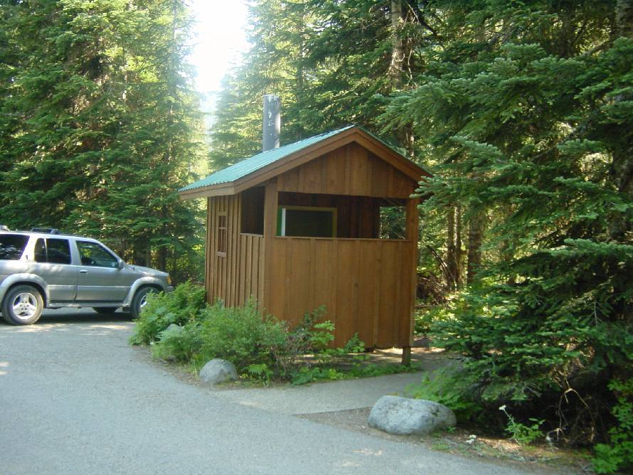
Parking Pass
Required
37 Rachel Parking.JPG (140920 bytes)