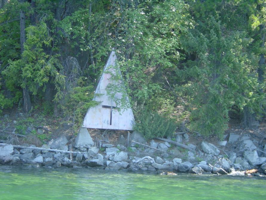
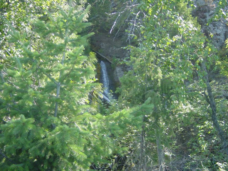
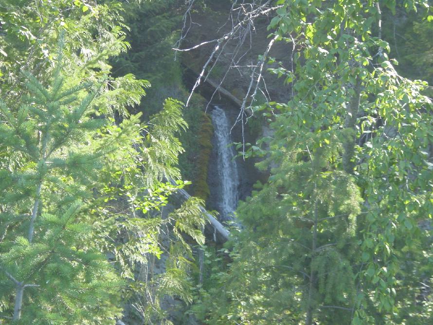
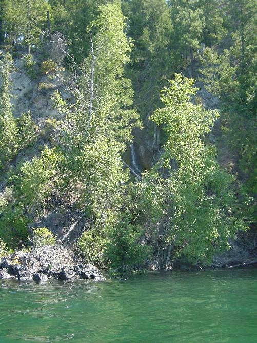
Return to Mike's Kayak Adventures

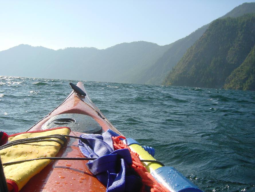
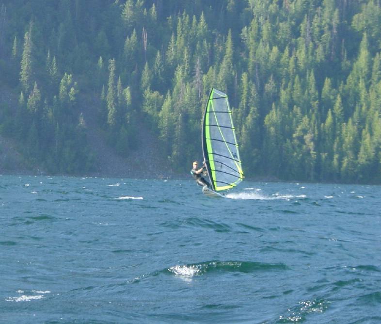
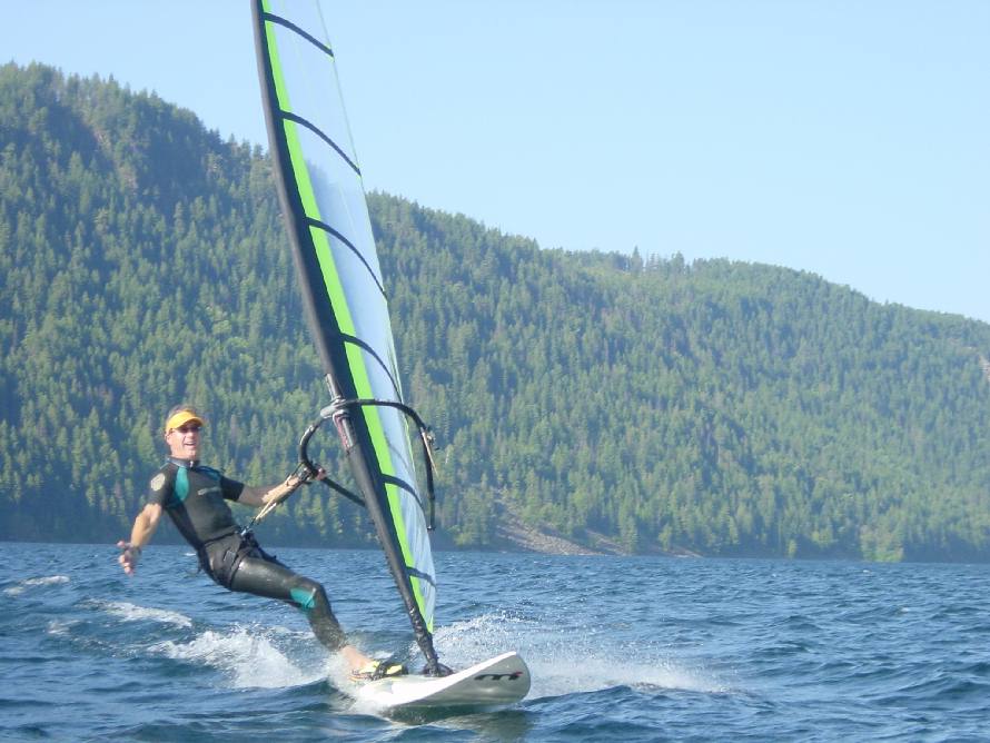
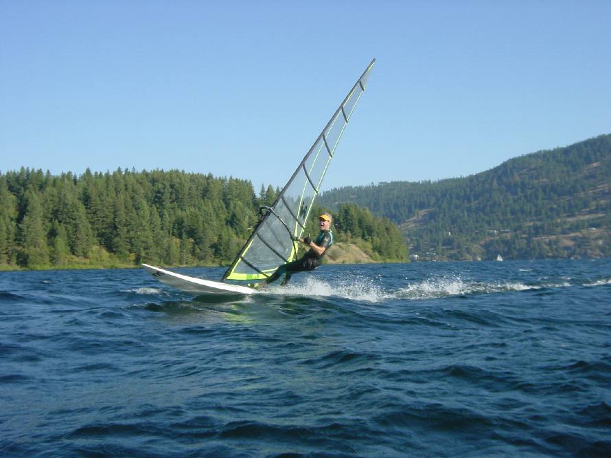
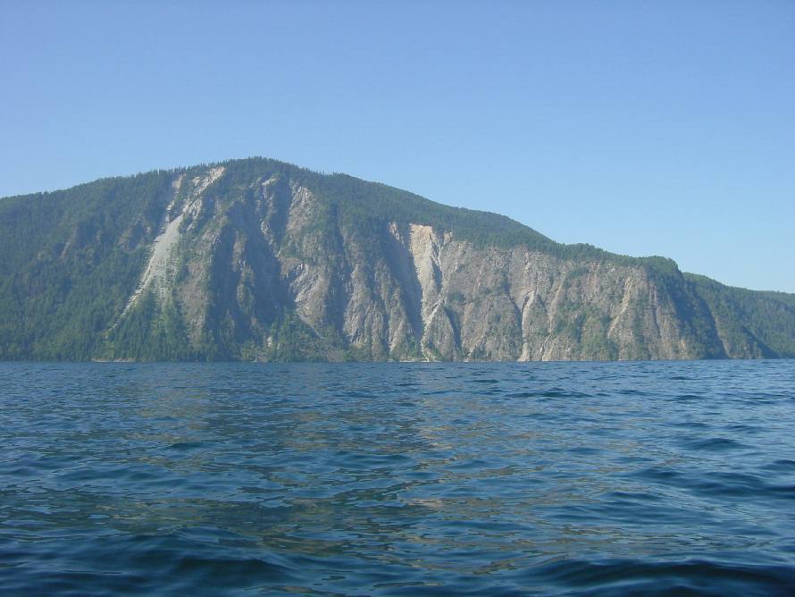
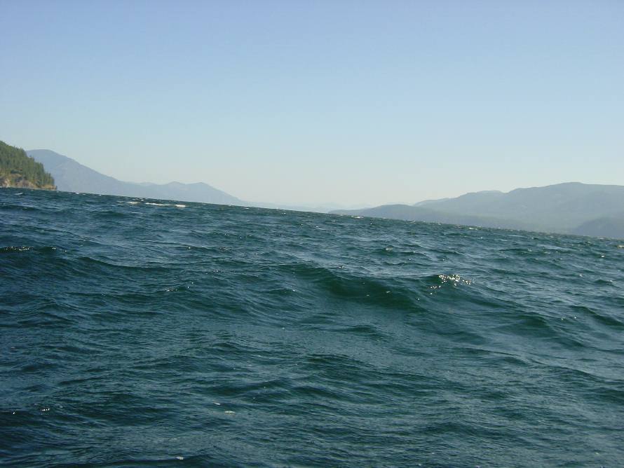
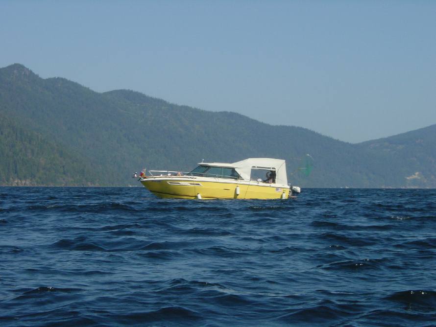
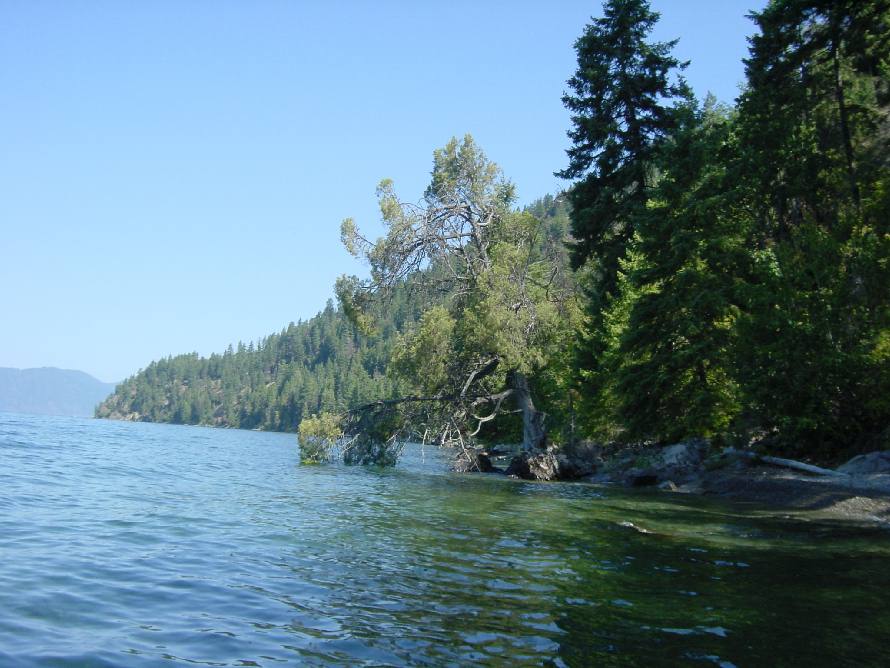
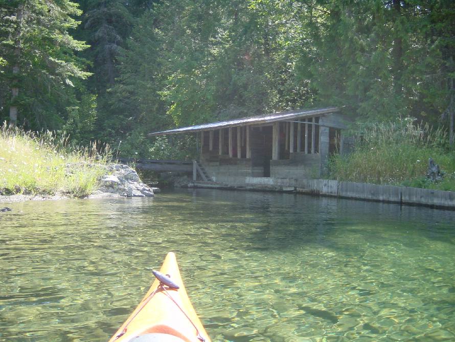
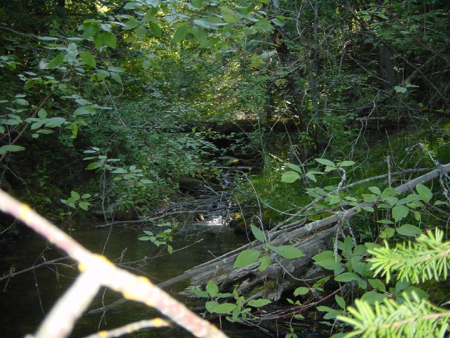
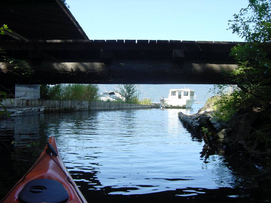
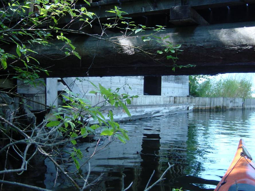
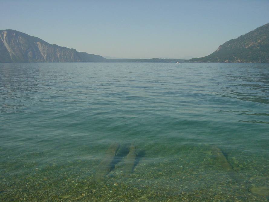
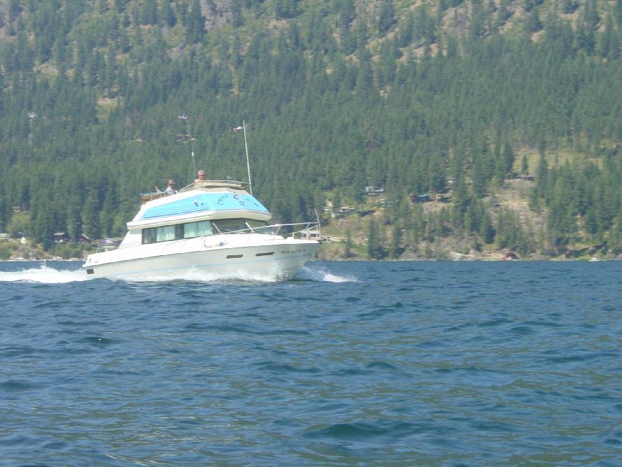
Lake Pend Oreille, Idaho
Sailboard and Various Creeks on Main Portion of Lake
24 Jul 04

GPS Stats
Trip Odometer: 18.92 miles
Stopped Time: 24:07 minutes
Moving Average Speed: 3.7 mph
Moving Time: 5:05 hours
Overall Average Speed: 3.4 mph
Total Time: 5:29 hours
Max Speed: 5.2 mph

Ultra high-res photos available by request

01 Swells.JPG (97435 bytes) 02 Sailboard.JPG (79893 bytes) 03 Sailboard.JPG (91135 bytes)
04 Sailboard.JPG (78747 bytes) 05 Cliff Sunrise.JPG (80863 bytes) 06 Swells.JPG (79501 bytes)
07 Motorboat.JPG (68378 bytes) 08 Water Tree.JPG (100842 bytes) 09 Cedar Creek.JPG (132595 bytes)
10 Cedar Creek.JPG (146493 bytes) 11 Cedar Creek.JPG (95897 bytes) 12 Cedar Creek.JPG (124416 bytes)
13 Cedar Creek.JPG (91758 bytes) 14 Cedar Creek.JPG (62690 bytes) 15 Cedar Creek Rope Swing.JPG (95504 bytes)
16 Log Ladder.JPG (140654 bytes) 17 Triangle T.JPG (133496 bytes) 18 Tumble Down Creek.JPG (162940 bytes)
19 Tumble Down Creek.JPG (149621 bytes) 20 Tumble Down Creek.JPG (111950 bytes) 21 North Twin Creek.JPG (128785 bytes)
22 North Twin Creek.JPG (82280 bytes) 23 South Twin Creek.JPG (161548 bytes) 24 South Twin Creek.JPG (155409 bytes)
25 Castle Rock.JPG (125281 bytes) 26 From Castle Rock.JPG (70585 bytes) 27 Power Boat.JPG (96878 bytes)